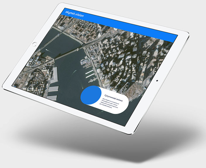
Satellite images
Aerial photographs are traditionally used to create and update topographic maps and plans. However, with the advent of space-based ultra-high resolution data, remote sensing data. Especially promising for this purpose is a technology that combines aerial photography, aerial laser scanning and space surveying.
Analytics based
on satellite data
The satellite-based analysis allows you to detect the slightest changes on the Earth's surface, compare them with the statistics, information from other sensors, media information, the results of many years of research, etc.

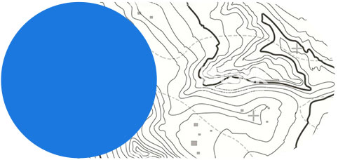
Orphotoplants
Photographic plan of the locality on an accurate geodetic basis, obtained through space shooting shooting.

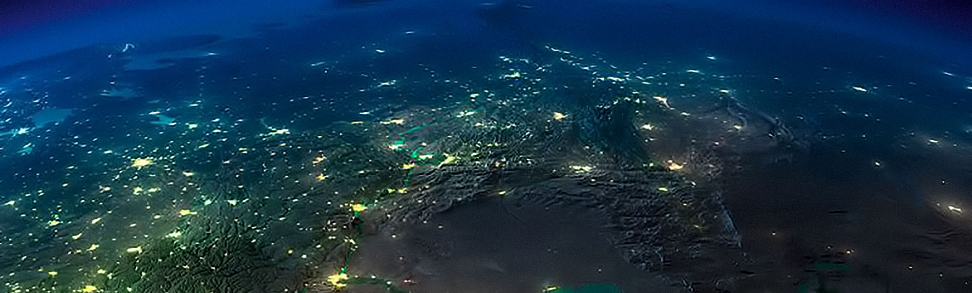
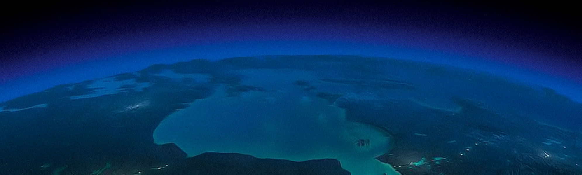
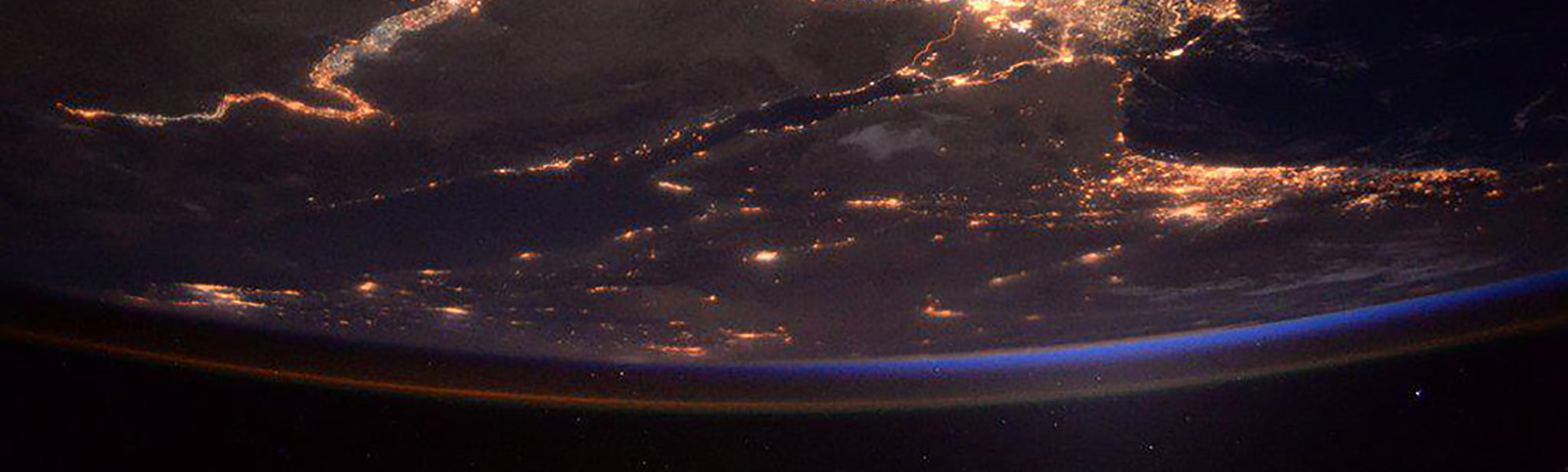
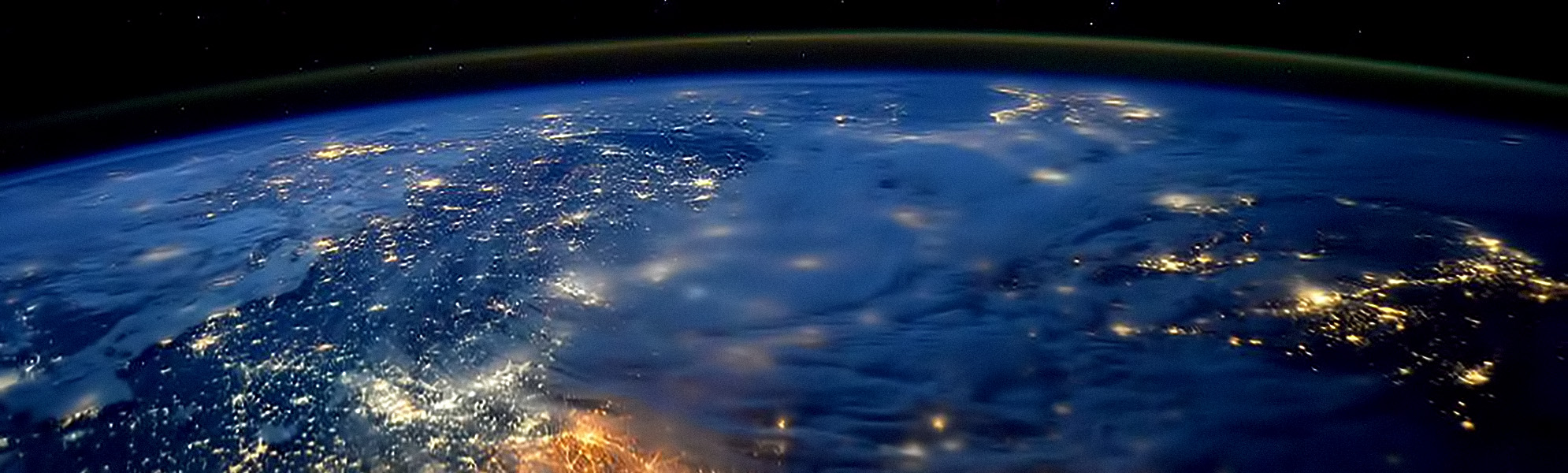
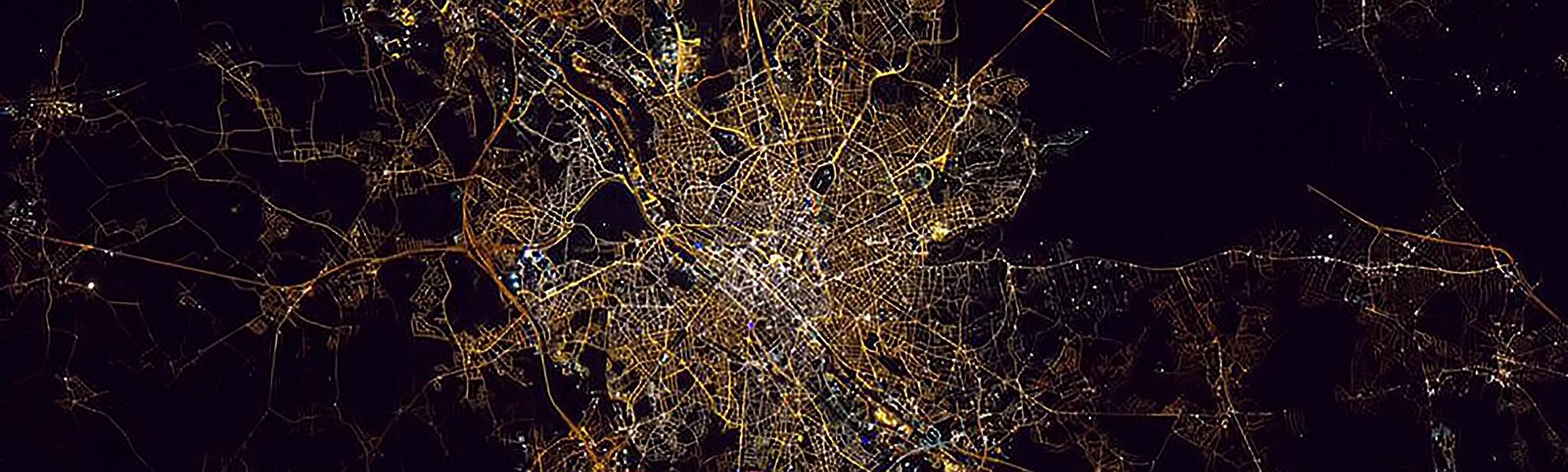
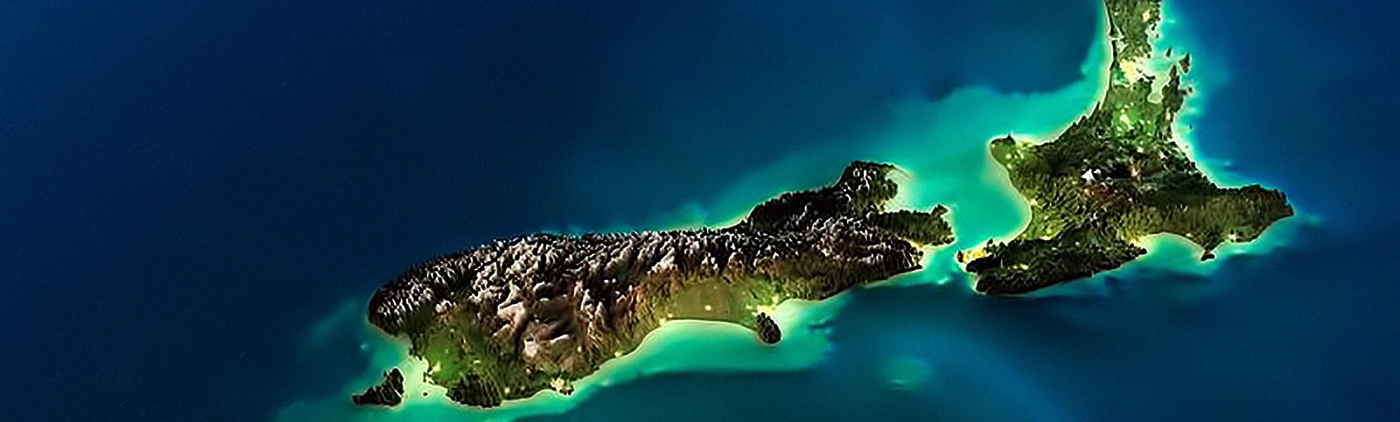
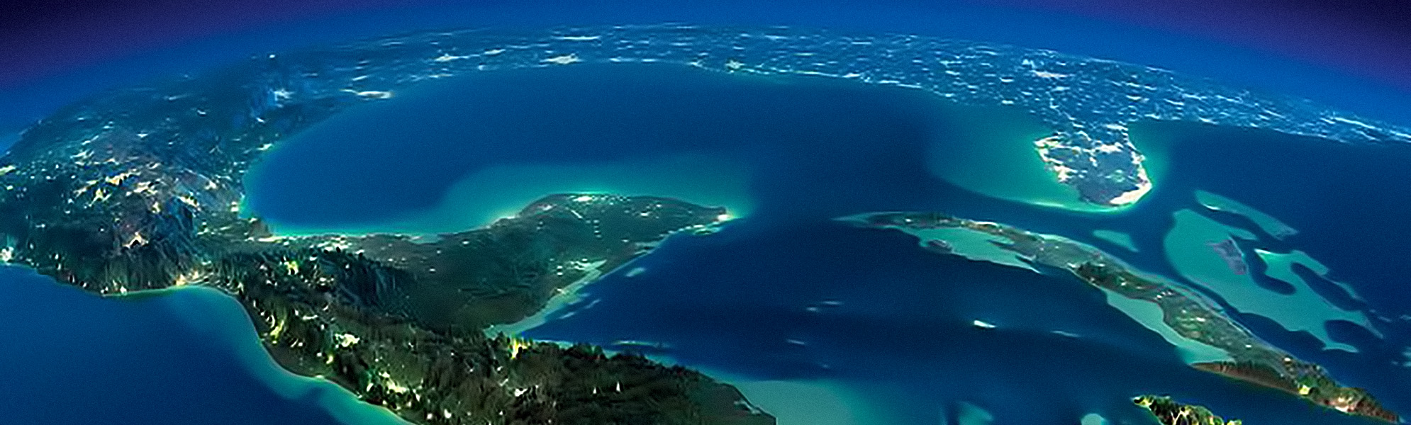
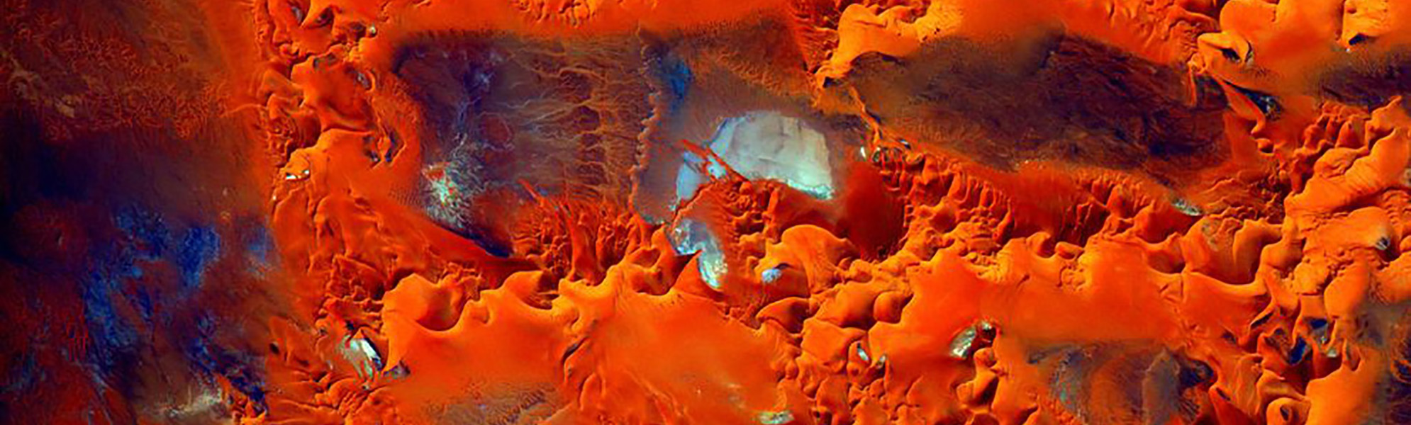
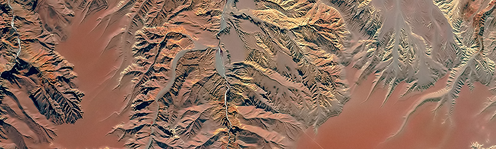
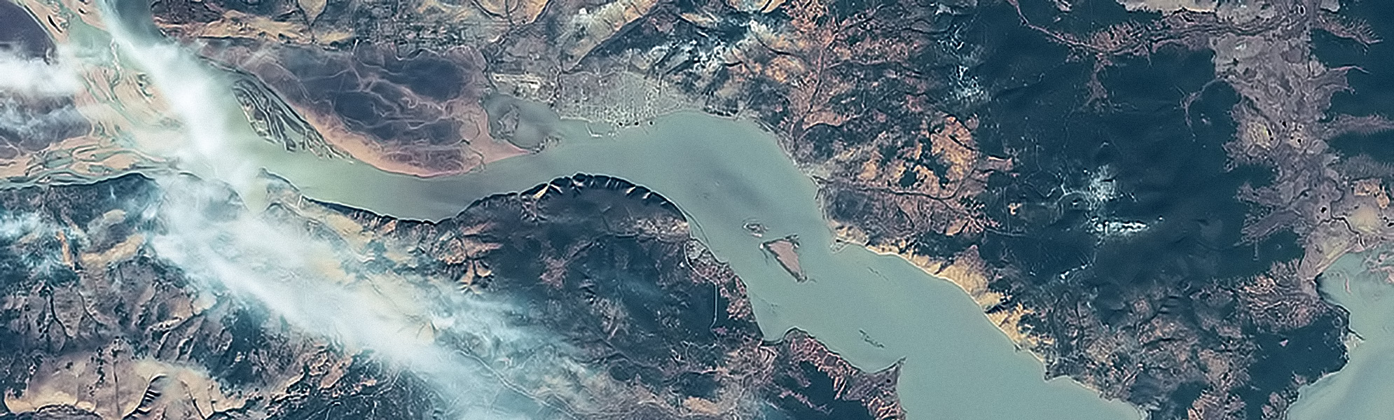
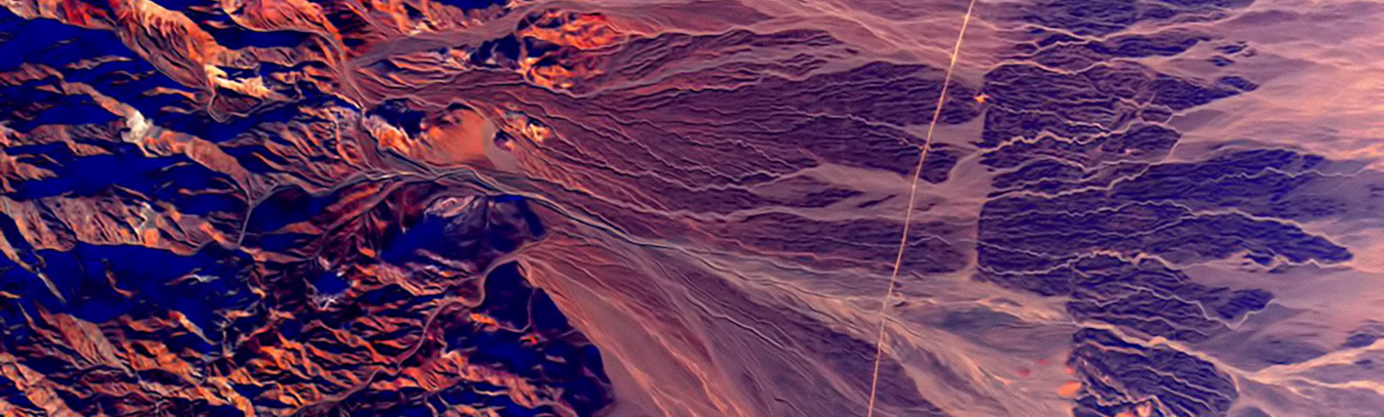
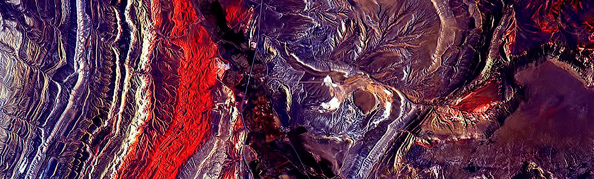
Space Shots
Obtained using spacecraft in different ranges of the electromagnetic spectrum.

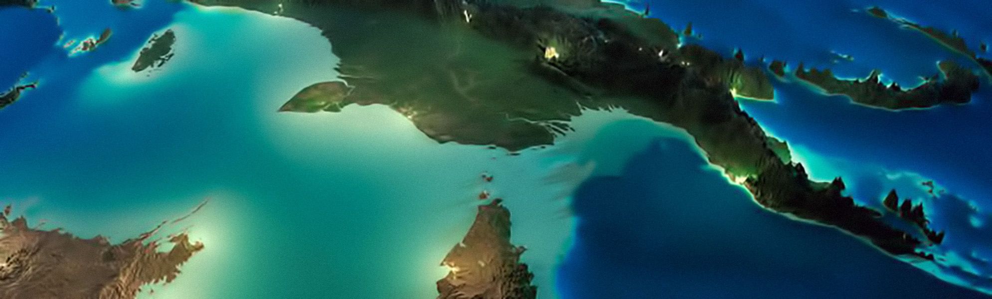
Models of relief
On the basis of SuperView-1 satellite imagery, visualization products and ZD models can be built.